- This extension is not enabled by default but may be available upon request.
Maps can be embedded in the pages of any Wikia where the Maps extension has been enabled. If you have a use for maps on your local wikia, please contact us so we can enable them for you.
Adding a Map Visually
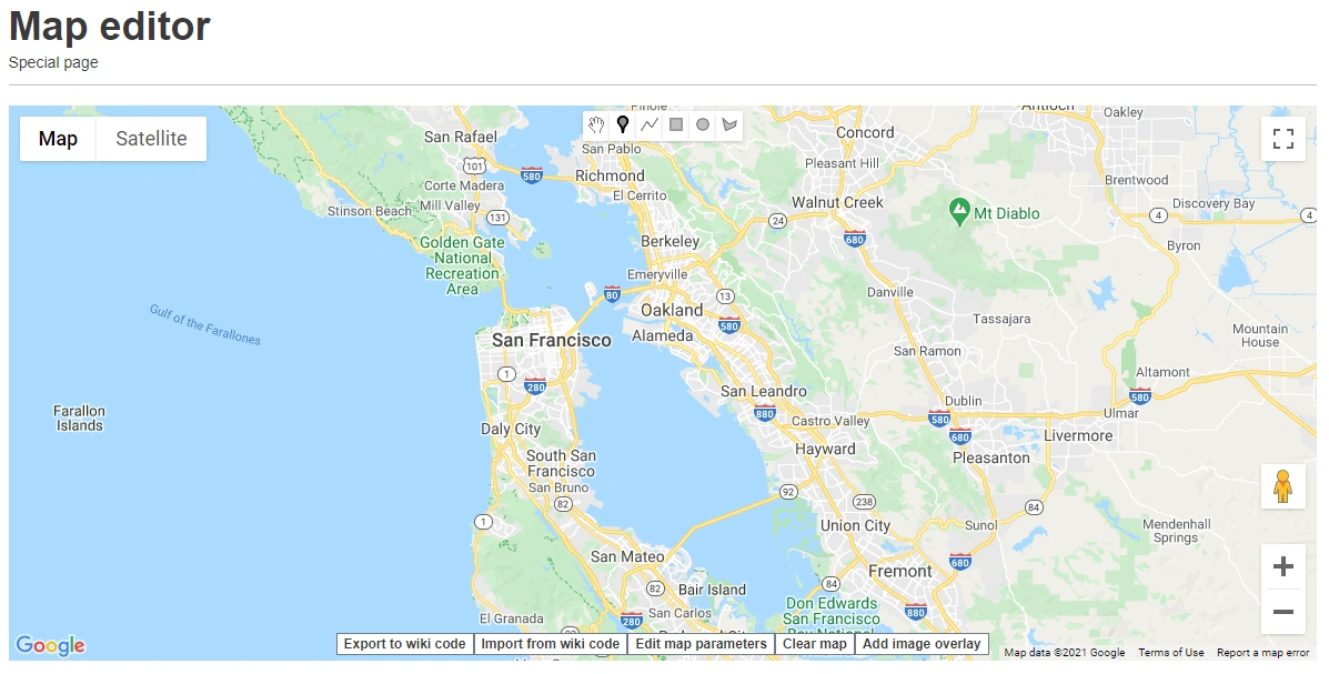
Using the Maps Editor to mark a point
Wikias with the Maps extension can use the MapEditor tool (Special:MapEditor) to create maps. Much like with a normal Google Map, you can zoom in and out and scroll to get to the point on the map you want to mark. Then you can choose to mark a point, create a line, or draw a shape.
From there, you can mark more points or do more tasks until you are happy with the map presentation. If you want to change more of the external features of the map (which mapping service to use, what mode the map should display in), you can click "Edit Map Parameters".
Once you have completed work on the map, you can click "Export to Wiki Code". A pop-up will show with the wikitext you need to copy and paste into the page you want the map to be embedded in.
Adding a Map Via Source Code
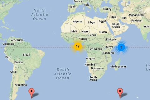
Marker clustering - one of the many unique features you can add to your Maps.
Of course, if you are familiar with the extension sytanx, you can always code the maps by hand.
To insert a map using source code, you can use the syntax {{#display_map:}}.This function can be used in multiple ways:
- To display a set of coordinates you can use syntax like
{{#display_map: 55.7557860, 37.6176330}}to display the exact coordinates of a place (in this case Moscow) - To display a named location or address, you can use the syntax
{{#display_map: Sydney Harbour Bridge, Australia}}to display an address or a location recorded in Google Maps. You could even use syntax like{{#display_map: 123 Smith Street, Randomtown, Random Country}}or{{#display_map: Central Railway Station, NSW}}as long as you give the map enough information on where to find the point you are looking for (Country, State, Suburb, etc.) - To display multiple points the following syntax is used:
{{
#display_map:
Point 1;
Point 2;
Point 3 etc...
}}
There are many options available for coding. A full list of things you can do with the Maps extension as well as the codes and examples you need to make your maps presentable are available here on the Mapping site.
See Also
Further Help and Feedback
- Browse and search other help pages at Help:Contents
- Check Fandom Community Central for sources of further help and support
- Check Contacting Fandom for how to report any errors or unclear steps in this article